Industrial facilities
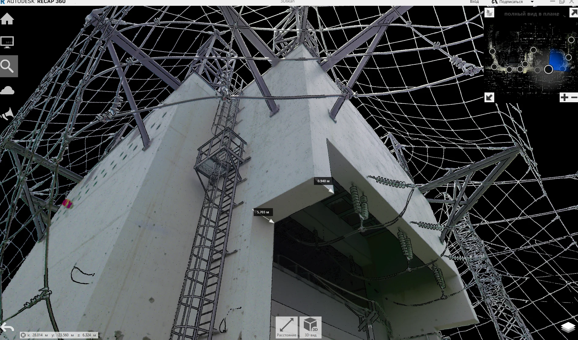
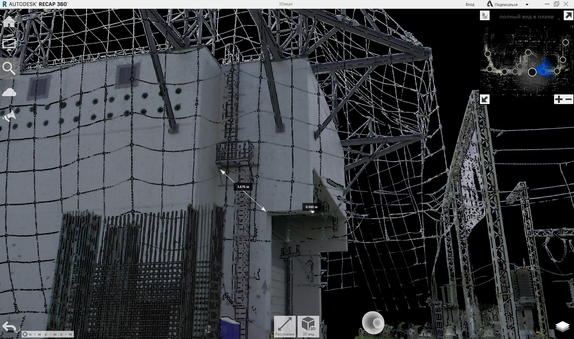
Capture of structures, equipment, process areas and complex spatial geometry.
We generate spatial data for measurement, reconstruction, verification, technical assessment and design input.
3D laser scanning captures the actual geometry of complex structures and supports measurements, plans, sections, elevations and digital models.
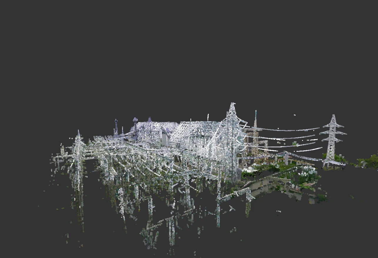
Capture of structures, equipment, process areas and complex spatial geometry.
Measurement of structural elements, supports, spans and adjacent areas.
A reliable digital basis for repair, strengthening, reconstruction and design decisions.
Digital documentation of existing conditions for assessment and restoration design.
Registered point clouds, control measurements, plans, elevations, sections, 3D models or meshes.